

Grid reference: SJ294538
Co-ordinates: 329490, 353880
Bearing: WSW
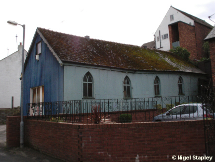
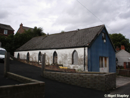
This chapel existed as a 'cause' from 1905 to 1978, when a combination of dwindling congregations and a fracture in the fabric of the building which was probably caused by mining forced its demise.
You can see what looks like the result halfway along the wall nearest to us.

Grid reference: SJ294538
Co-ordinates: 329485, 353857
Bearing: WNW
Above is the view from the southern side.
© Nigel Stapley


