St Giles' Church


Grid reference: SJ335501
Co-ordinates: 333505, 350110
Bearing: E
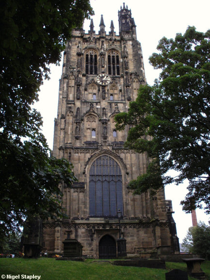
Some shots of the tower of the 16th century church of St Giles, Wrexham's parish church. 2006 marked the 500th anniversary of work beginning on it.
The first picture (above) shows the west side of the tower. The grave of Elihu Yale is nearby.
(A replica of this tower stands in the grounds of Yale University in Massach...Masacchh...America)


Grid reference: SJ335501
Co-ordinates: 333505, 350110
Bearing: E
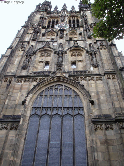
Above is a close-up of the same aspect:


Grid reference: SJ335501
Co-ordinates: 333540, 350143
Bearing: S
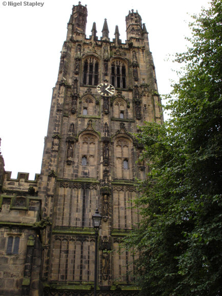
This is the northern face of the tower, over the main entrance.


Grid reference: SJ333502
Co-ordinates: 333335, 350285
Bearing: SW
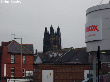
And this is the tower as seen from Hill Street.
© Nigel Stapley


