Engedi Chapel


Grid reference: SJ294538
Co-ordinates: 329445, 353872
Bearing: SW
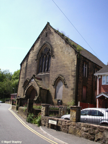
Engedi Methodist Chapel on High Street. As you can see, it has long since closed and is falling into decay. There were plans to build more of those pokey little houses here (no doubt like the ones just visible on the right of the picture), but the collapse of the property market has put paid to that, at least for the time being.
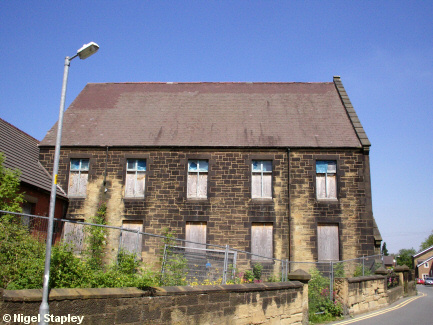
Above is the view from the northern (old Post Office) side.


Grid reference: SJ294538
Co-ordinates: 329422, 353827
Bearing: N
And above from the southern (Miners' Arms) side.


Grid reference: SJ294538
Co-ordinates: 329432, 353840
Bearing: NW
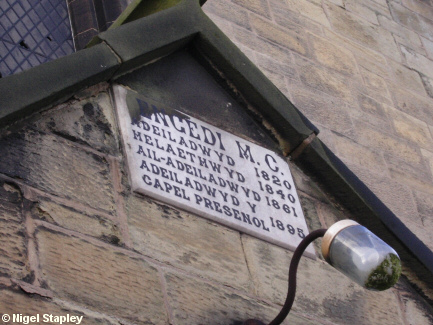
The plaque over the entrance.
It translates as:
ENGEDI C.M. (*)
BUILT 1820
EXTENDED 1840
REBUILT 1861
PRESENT CHAPEL BUILT 1895
(* Calvinist Methodists)
© Nigel Stapley


