

Grid reference: SJ291521
Co-ordinates: 329143, 352170
Bearing: N
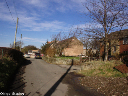
The small village of Fron lies at the top of the Gwenfro valley, and grew up around the Fron colliery, which shut back in the 1930s.
Above is Llewellyn Road...

Grid reference: SJ292521
Co-ordinates: 329230, 352150
Bearing: N
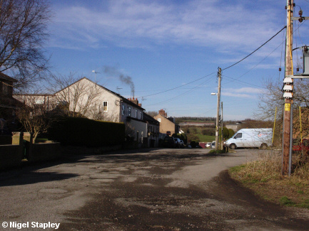
...and here is Heol Offa, which is a little further down the hill towards Tanyfron.
© Nigel Stapley


