Ochnall's Bridge


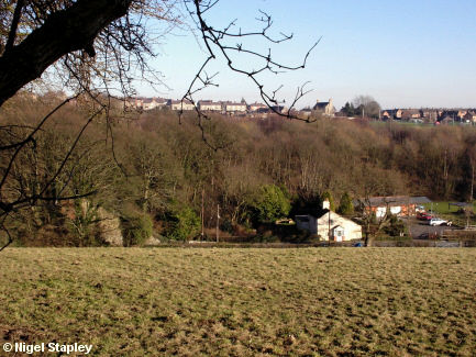
Grid reference: SJ300522
Co-ordinates: 330063, 352233
Bearing: ESE
Tollbar House stands on the Wrexham road between Lodge and Southsea. The road it stands upon was - you won't be surprised to read - a toll road at one time.
(For why and how it stopped being one, I recommend this article).
(The house now seems to be called Tollgate House for some reason).


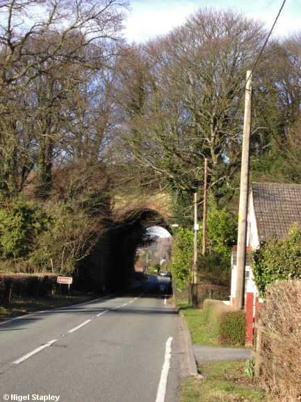
Grid reference: SJ301522
Co-ordinates: 330170, 352205
Bearing: N
On the left of Tollbar House, the road passes under Ochnall's Bridge, one of the few old railway bridges left standing in the area.
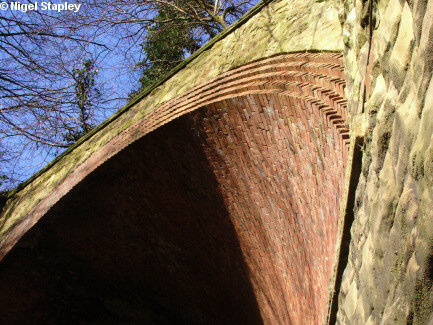
The reason for this is that it what is called a 'skew arch' bridge, and there aren't many examples of them nowadays, so it's got statutory protection.
The bridge carried the Brymbo Branch of the Wrexham, Mold & Connah's Quay Railway (later part of the Great Central Railway). This was mostly a freight line to the steelworks, but carried passenger traffic for nearly thirty years up to 1917.
(More information at the very fine Disused Stations site)
Here are some close-ups of it.
Firstly (above) seen from by Tollgate House.


Grid reference: SJ301522
Co-ordinates: 330173, 352238
Bearing: N
A closer look at the stonemason's craft at the southern end of the bridge.
(I was so inordinately proud of this photograph that I had it as my wallpaper for the last couple of years I worked in the Civil Service).


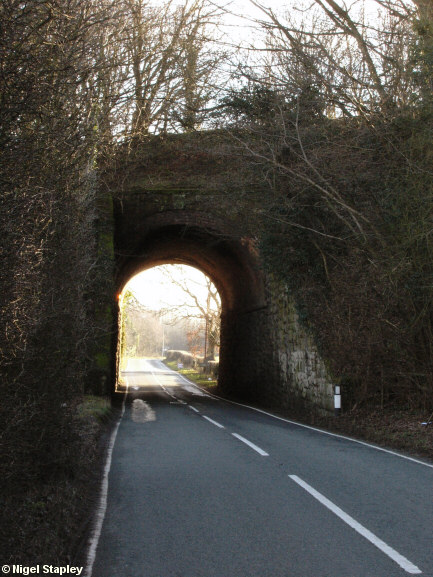
Grid reference: SJ301523
Co-ordinates: 330155, 352330
Bearing: S
Looking south from the Lodge side.
© Nigel Stapley


