St Mary's Church, Minera


Grid reference: SJ268519
Co-ordinates: 326892, 351935
Bearing: N
It is thought that there was a chapel of ease on this site as early as the late 16th century, but there was a subsequent wooden building here by the early 1730s.
The Parish of Minera was carved out of part of Wrexham parish in 1844, with enlargement of its boundaries twice later in the century.
The current building opened in 1866 and stands at Ty'n Y Capel, some distance to the west of the village.
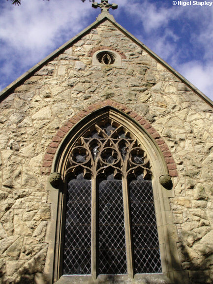
The photograph above shows the eastern end of the church.


Grid reference: SJ268519
Co-ordinates: 326892, 351935
Bearing: NW
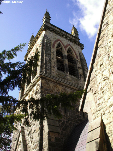
It also has this neat little tower.


Grid reference: SJ268519
Co-ordinates: 326865, 351957
Bearing: ESE
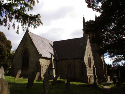
And this is the church seen from the churchyard.
© Nigel Stapley


