St Paul's Church, Pentre Broughton


Grid reference: SJ305533
Co-ordinates: 330550, 353367
Bearing: SE
St Paul's Church was originally a subsidiary church to Brymbo's St Mary's Church, and opened in July 1889.
It wasn't officially licensed until November of that year, and wasn't actually consecrated until as late as January 1909, a few weeks before Broughton became a parish in its own right (or should that be rite?).
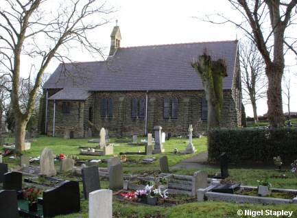
The first picture shows the northern side as seen from below the churchyard gate on Bryn Y Gaer Road.


Grid reference: SJ305533
Co-ordinates: 330542, 353344
Bearing: ESE
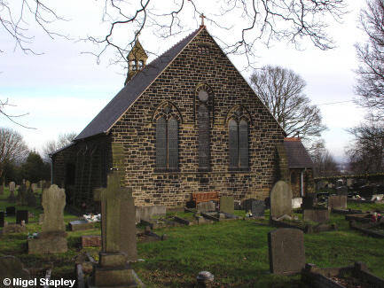
Above is the western end as seen from near the main gate.


Grid reference: SJ306533
Co-ordinates: 330619, 353338
Bearing: W
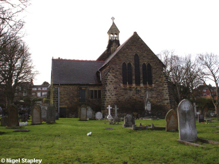
Here is the eastern end. A municipal cemetery adjoining the churchyard is off to the left of this shot.


Grid reference: SJ305533
Co-ordinates: 330559,353335
Bearing: E
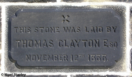
And here's the stone set into the north wall.
© Nigel Stapley


