St Mary's Church


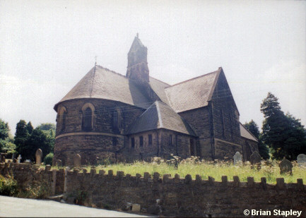

Grid reference: SJ295543
Co-ordinates: 329528, 354337
Bearing: SW
This shows the view of the 'business end'of the Parish Church of St Mary (built in 1872), and was taken from the road which leads down from the village towards Ffrith.
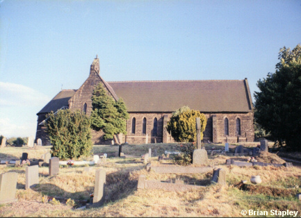

Grid reference: SJ294543
Co-ordinates: 329472, 354362
Bearing: S
This view gives us the north side.
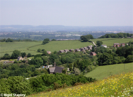

Grid reference: SJ291543
Co-ordinates: 329120, 354302
Bearing: E
St Mary's Church, seen from the Wern, with Halcog in the background.
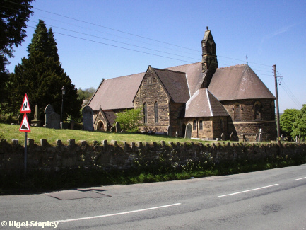

Grid reference: SJ295542
Co-ordinates: 329553, 354287
Bearing: NW
Here as seen from the south east.
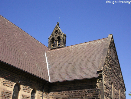

Grid reference: SJ294542
Co-ordinates: 329497, 354285
Bearing: ENE
The bell tower.
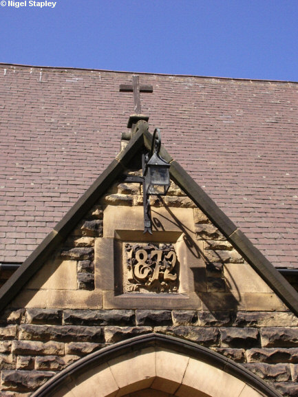

Grid reference: SJ294542
Co-ordinates: 329497, 354285
Bearing: ENE
And the porch.
Note that, because of the condition of the building, services at St Mary's ceased in 2023.
© Brian Stapley & Nigel Stapley


