Cymau



Grid reference: SJ299541
Co-ordinates: 329970, 354155
Bearing: N
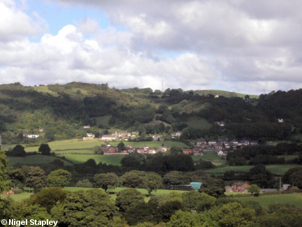
The village of Cymau, nestling in the armpit (as 'twere) of Hope Mountain. This shot was taken from the track which leads up to Brynmalley Farm.

Grid reference: SJ296563
Co-ordinates: 329643, 356317
Bearing: S
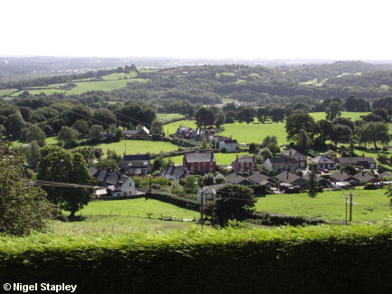
Cymau village, seen from the road which runs along the eastern side of Hope Mountain.
Beyond it (and the ravine) lie Windy Hill and Summerhill.

Grid reference: SJ295558
Co-ordinates: 329590, 355847
Bearing: NE
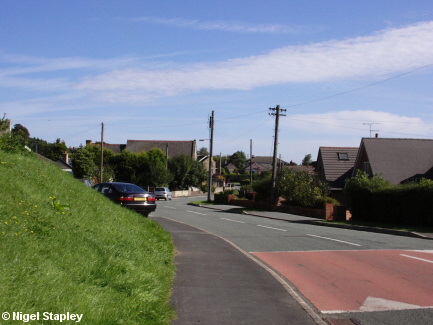
Cymau Lane, the main road through Cymau, looking north-eastwards from near the former Post Office.

Grid reference: SJ296559
Co-ordinates: 329655, 355900
Bearing: NW
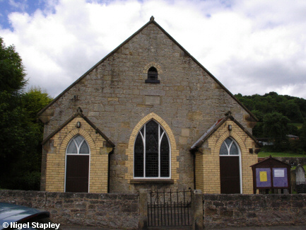
Bethesdah chapel stands on the main road in Cymau, and was founded in 1860. The village cemetery is attached to it (on the right of this picture).

Grid reference: SJ296557
Co-ordinates: 329670, 355760
Bearing: N
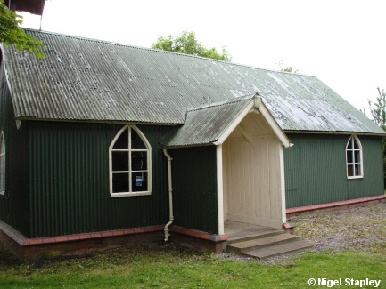
By contrast, Cymau's Anglican church of All Saints is to be found down a track off the side lane which leads to Lower Lodge ford, and consists of little more than a shed with a bell on it. At the time of writing, it was without an incumbent clergyman.

Grid reference: SJ294551
Co-ordinates: 329445, 355100
Bearing: NE
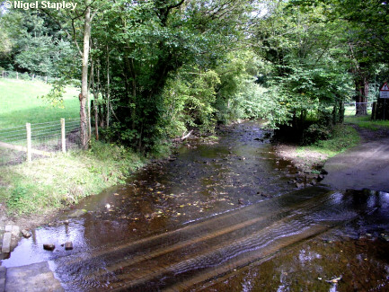
Where the road fords the River Cegidog just below Lower Lodge.
Some locals refer to this river as the 'River Alun', but it isn't. The Cegidog flows into the Alun about two miles downstream at Cefn Y Bedd.
©Nigel Stapley


