

Grid reference: SJ287575
Co-ordinates: 328762, 357513
Bearing: N
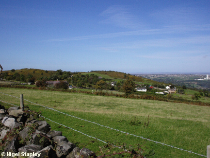
Horeb village, on the northern slope of Hope Mountain.

Grid reference: SJ284581
Co-ordinates: 328412, 358145
Bearing: N
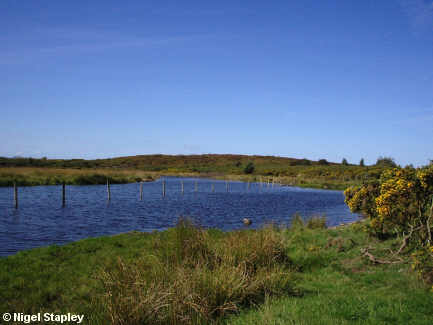
Lake Horeb, which lies above the village at the summit.
This is now part of Waun Y Llyn Country Park, but had been a destination for walkers, picnickers, and so on for generations.
© Nigel Stapley


