

Grid reference: SJ291576
Co-ordinates: 329195, 357610
Bearing: NNE
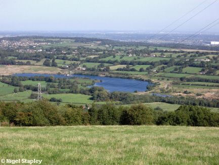
A lake at Stryt Isa to the north west of Hope. I believe this used to be a large sand pit.
Penyffordd can be seen upper left, and the Aerospace factory at Broughton upper right.
© Nigel Stapley


