

Grid reference: SJ292575
Co-ordinates: 329275, 357545
Bearing: N
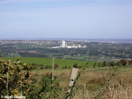
Buckley and Padeswood from the eastern side of Hope Mountain.
The large white construction in the middle is a cement factory.
You can also just make out (above and to the right of the factory) one of the towers of the Flintshire Bridge over the River Dee. Beyond that lies the Wirral.
© Nigel Stapley


