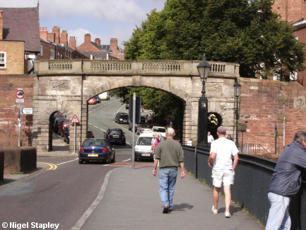
Bridgegate, Chester


Grid reference: SJ406658
Co-ordinates: 340685, 365805
Bearing: NNW
The current Bridgegate dates from the late 18th century, replacing a mediaeval fortification known as Welshgate (as it marked the only direct route from Wales into Chester). The village of Handbridge (behind us in this shot) was known in Welsh as Treboeth ("Burnt Town") because we set fire to it so often (tee hee!).
During the English Civil War, however, the natives showed that they had learned well, and they razed the place themselves to avoid it falling into the hands of Parliamentary forces.
© Nigel Stapley


