The Dee Weir, Chester


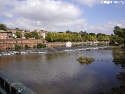
Grid reference: SJ407657
Co-ordinates: 340733, 365730
Bearing: N
This weir was originally constructed as far back as the 11th century to guide the waters of the river towards waterwheels under the northern arches of the Old Dee Bridge, the waterwheels being there to power a number of mills.


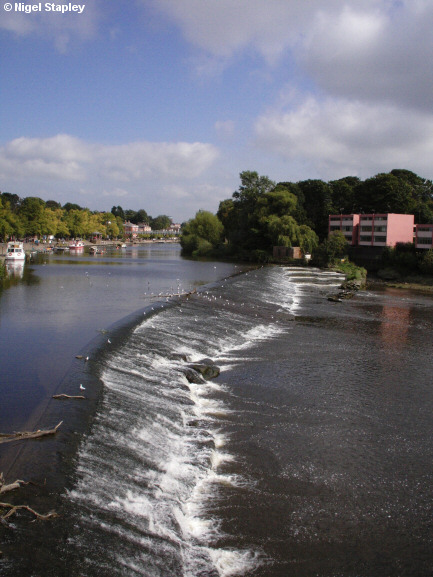
Grid reference: SJ406658
Co-ordinates: 340685, 365805
Bearing: E
This is the weir seen from the northern end of the bridge. What can also be seen, alas, is a block of hideous late-1960s flats which - just to compound the offence - some cross-threaded twit decided to paint pink!
© Nigel Stapley


