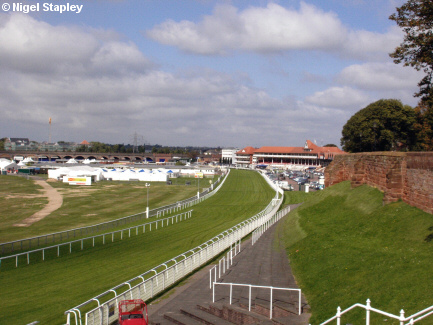
The Roodee, Chester


Grid reference: SJ402657
Co-ordinates: 340265, 365755
Bearing: WNW
It's remarkable to consider today that in Saxon times nearly the whole of the area before us in this photograph would have been under the waters of the River Dee. In fact, the wall on the right marks the position of the old Roman harbour.
As the river silted up (with the help of - amongst other things - the weir) and its course changed, this whole parcel of land became virtually dry all the time. Horseracing was taking place here as early as the mid-16th century.
© Nigel Stapley


