The River Dee At Hawarden Bridge


Grid reference: SJ310692
Co-ordinates: 331025, 369260
Bearing: SE
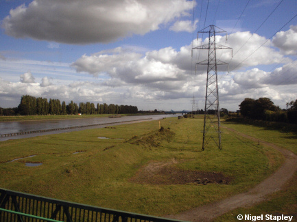
In order to keep the River Dee navigable below Chester, the last few miles of it was put into a long, straight channel.
This is how it looks at Hawarden Bridge.
Hawarden Bridge is, in fact, nowhere near Hawarden, being just north-east of Shotton. The bridge was designed to be a swing bridge but - like so many of us - hasn't swung for many years.
(See the excellent Disused Stations website for more on Hawarden Bridge).


Grid reference: SJ310693
Co-ordinates: 331073,369360
Bearing: SE
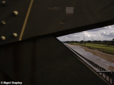
In case anyone is still impressed by my camera technique (poor, deluded fools they must be), this is what happened when I tried to take a picture whilst the train was on the bridge itself.
© Nigel Stapley


