Liverpool Anglican Cathedral


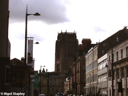

Grid reference: SJ355898
Co-ordinates: 335588, 389832
Bearing: SSW
The Cathedral Church of Christ is a large sandstone building with a tortuous history.
Begun in 1904, it was built in stages, not being completed until 1978, nearly two decades after the death of its architect Giles Scott (they buried him under the belltower - one of the largest and tallest belltowers in the world - there's nothing like making absolutely sure, is there?).
Above is a distant view of the church as you approach it down Lord Street from Mount Pleasant.
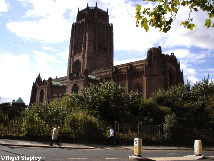

Grid reference: SJ354895
Co-ordinates: 335492, 389543
Bearing: SSW
This is the view from the junction of Hope Street and Duke Street. You can see clearly how the structure dominates the landscape.
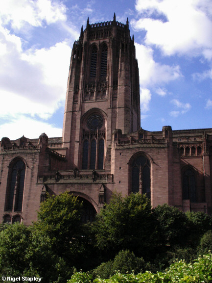

Grid reference: SJ354893
Co-ordinates: 335490, 389380
Bearing: W
This is the belltower at close quarters.
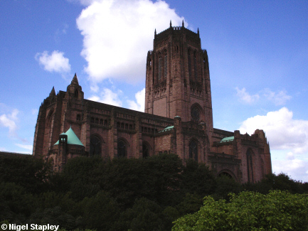

Grid reference: SJ354893
Co-ordinates: 335485, 389315
Bearing: NW
This picture shows the whole eastern side.
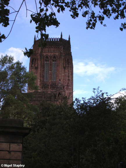

Grid reference: SJ353891
Co-ordinates: 335372, 389138
Bearing: N
This is the view from Upper Parliament Street.
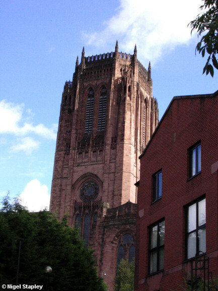

Grid reference: SJ352892
Co-ordinates: 335200, 389240
Bearing: NE
The western side of the Cathedral can't very readily be seen nowadays because of a modern housing development on Great George Street. Here you see them side by side.
© Nigel Stapley


