St Luke's Church


Grid reference: SJ352898
Co-ordinates: 335223, 389850
Bearing: NNW
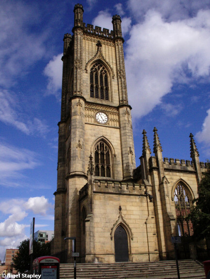
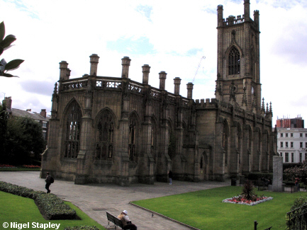
St Luke's church, at the junction of Berry Street and Leece Street was built in the first half of the 19th century.
In 1941, it suffered a strike by a Luftwaffe incendiary bomb. It has been left to stand as a memorial to those times, with the grounds forming a public park. It's known locally simply as "The bombed-out church".
Above is the view from Berry Street.


Grid reference: SJ353898
Co-ordinates: 335305, 389890
Bearing: WSW
And here we see the church and gardens from Leece Street.
© Nigel Stapley


