Pentresaeson


Grid reference: SJ279532
Co-ordinates: 327967, 353200
Bearing: SW
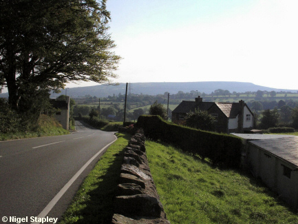
Marking the south-western boundary of Brymbo is the cross-roads at Pentresaeson ("The village of the English").
The old Toll House can be seen on the left, and Pentresaeson farmhouse on the right. The road here is the one which links Coedpoeth and Minera with the Mold road at Cefn Y Bedd and the Chester road at Rossett.
Just out of shot on the right stood Taylor's foundry. There are still manhole covers to be seen in the area which bear the legend:
TAYLOR PENTRESAESON FOUNDRY
How times change: I saw a manhole cover the other day which had the manufacturers' URL on it.
© Nigel Stapley


