

Grid reference: SJ285540
Co-ordinates: 328590, 354010
Bearing: NW
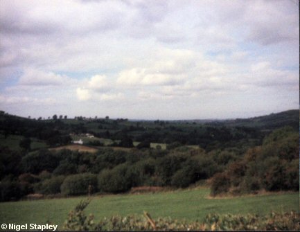
From Pool Road (just next to Mount Zion farmhouse) looking North-West over Glascoed towards Llanfynydd and Treuddyn in about 1987.
This view of open countryside is scarcely five minutes' walk from my front door.
The land in the foreground was subjected to open-cast coal-mining during the late 80s/early 90s, the latest in a long series of such desolations over the past 30 years or so.
© Nigel Stapley


