The New Estate


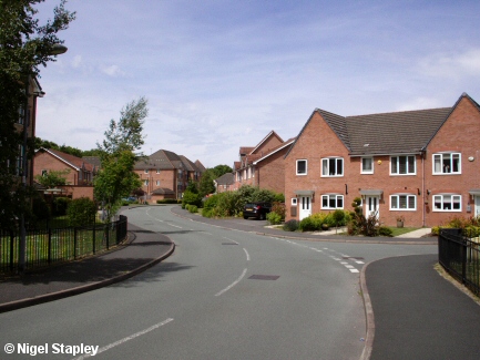

Grid reference: SJ294527
Co-ordinates: 329400, 352785
Bearing: NNE
Where once stood a thriving steelworks there now squat hundreds of houses and flats (sorry, I mean 'apartments'), few of which have been within the price range of local people, and so have been bought by incomers or by the buy-to-let landlord class - whose main income seems to be from student accomodation - or have been hived off to housing associations to fill with whosoever they choose. With some of the inevitable results.
Starting at the top (topologically), above shows the entrance to Lamberton Drive just off the old road from Brymbo to Tanyfron, opposite Tŷ Cerrig.
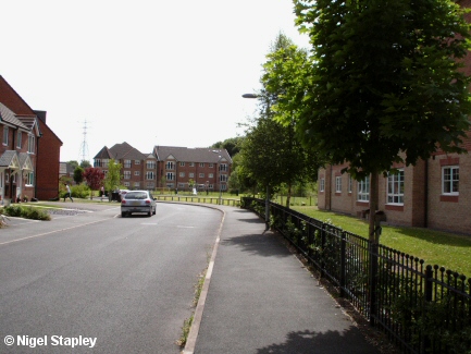

Grid reference: SJ294530
Co-ordinates: 329477, 353042
Bearing: SSW
Here's the same road further along and looking southwards back towards Tŷ Cerrig.
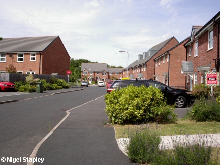

Grid reference: SJ294530
Co-ordinates: 329482, 352059
Bearing: N
And finally, Lamberton Drive at its northernmost end looking north.
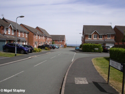

Grid reference: SJ294528
Co-ordinates: 329412, 352806
Bearing: E
Off Lamberton Drive stands Charles Street, which goes around in a sort of square U-shape along the edge of the slope which drops down to Phoenix Drive (q.v.).
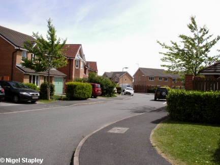

Grid reference: SJ294528
Co-ordinates: 329444, 352801
Bearing: SSE
And leading off Charles Street is Mill Bank, named in commemoration of the rolling mill which was commissioned in 1979 and closed scarcely more than a decade later.
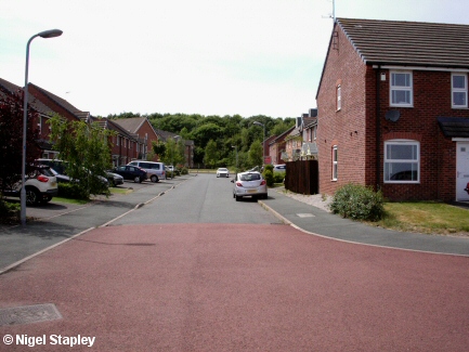

Grid reference: SJ295529
Co-ordinates: 329534, 352923
Bearing: WNW
Further north is Coleman Road which - like Charles Street - follows the same U-shape layout as Charles Street. This is the view back towards Lamberton Drive.
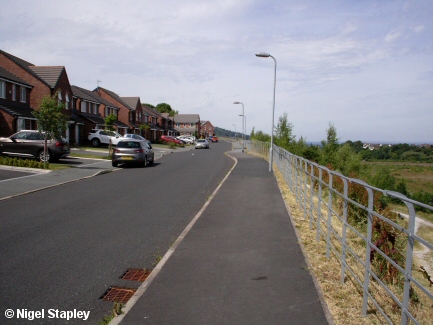

Grid reference: SJ295530
Co-ordinates: 329549, 353053
Bearing: N
And at the northernmost extremity of this outcrop is Clifton Avenue. I noticed when taking these photographs in June 2018 that this road doesn't have a number 13 on it.
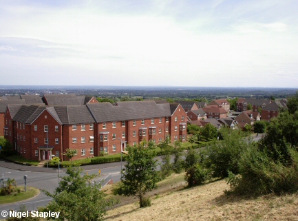

Grid reference: SJ295528
Co-ordinates: 329516, 352848
Bearing: SE
Further down the hill, and standing roughly where the rolling mill and the old 'Crick' sports grounds used to be, is the ill-advisedly aspirationally-named Phoenix Drive. Here it is at its junction with Sheppard Street, as seen from Coleman Road.
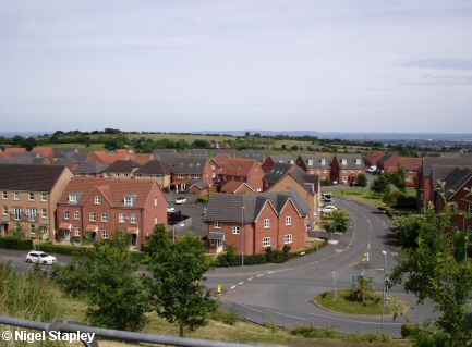

Grid reference: SJ295528
Co-ordinates: 329513, 352803
Bearing: ENE
Here's Sheppard Street itself from a similar vantage point, with Miller Road just behind it.
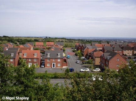

Grid reference: SJ295529
Co-ordinates: 329530, 352920
Bearing: ENE
At the northern end of this lower level is Wellman Avenue, seen from Clifton Avenue and, again, with Miller Road beyond.
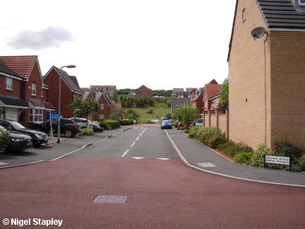

Grid reference: SJ297528
Co-ordinates: 329732, 352895
Bearing: WNW
Here is Wellman Avenue from its junction with Miller Road, looking back towards Phoenix Drive.
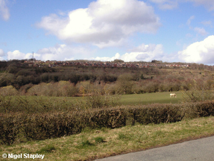

Grid reference: SJ304525
Co-ordinates: 330481, 352525
Bearing: WNW
Amd finally, this is very nearly the whole estate seen from across the valley from Long Lane, Brynteg.
© Nigel Stapley


