

Grid reference: SJ291547
Co-ordinates: 329153, 354723
Bearing: NE
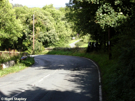
This is the old bridge at Pen Y Coed which carries the road over the railway line which once ran from Wrexham to Mold.
The railway closed in 1952, although parts of the route can still be seen. The underside of this bridge was filled in with earth a few years ago, but the parapets remain. The double bend formed by the bridge can be a nasty surprise for motorists bombing down the comparatively straight stretch from Cae Llo, and the gradient on the upper side is quite severe.
© Nigel Stapley


