Llwyn Isaf & Queens Square


Grid reference: SJ335505
Co-ordinates: 333530, 350520
Bearing: W
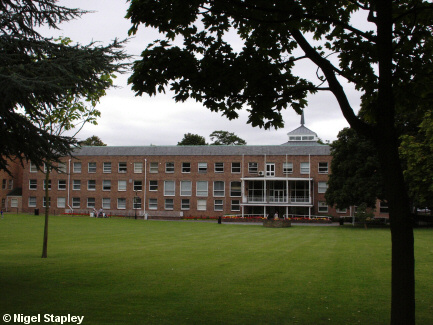
Llwyn Isaf was once the site of a mansion house, which later became a vicarage.
It was bought by the Council in 1953 and demolished shortly afterwards to make way for this building which has served as the headquarters for successive incarnations of the Council ever since.


Grid reference: SJ334505
Co-ordinates: 333475, 350508
Bearing: SE
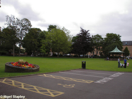
The lawn in front of the offices is a favourite recreation space for the students at the nearby Coleg Cambria.


Grid reference: SJ334504
Co-ordinates: 333425, 350197
Bearing: S
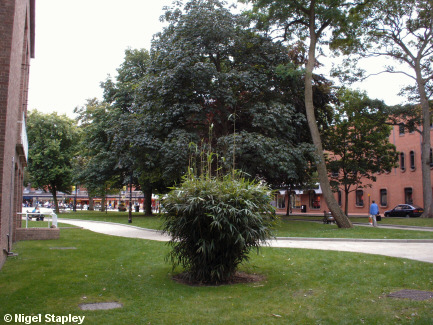
This is the view on the other side of the Guildhall, looking towards Queen's Square.


Grid reference: SJ334504
Co-ordinates: 333450, 350475
Bearing: S
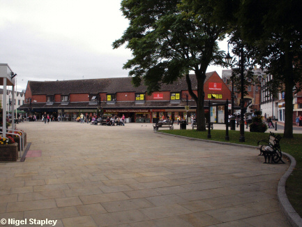
Queens Square stands on the opposite side of Llwyn Isaf.
In recent years, this has been pedestrianised and paved over to create an area for weary consumers to rest their storecards. Small open-air markets and other events are also held here.
This view is of the Rhosddu Road frontage (Llwyn Isaf is just visible in the front foreground), with Queen Street on the far left and Argyle Street and Lord Street leading away on the right.
© Nigel Stapley


