Ffrith


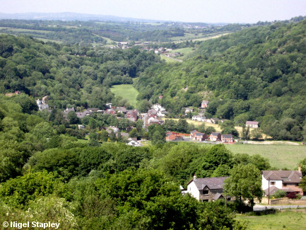

Grid reference: SJ289543
Co-ordinates: 328977, 354322
Bearing: NNW
The village of Ffrith, which sits in a narrow valley about a mile north of JudgeCo™ World Headquarters.
Time Team were here in April 2005. They didn't find much...

Grid reference: SJ286543
Co-ordinates: 328670, 354310
Bearing: NNW
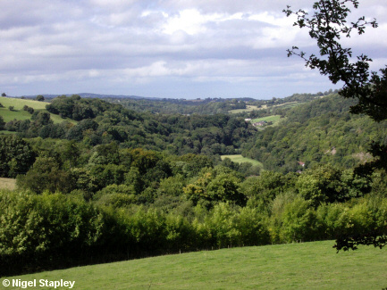
This a view further up the valley, taken from below the old Cae Llo brickworks.

Grid reference: SJ286552
Co-ordinates: 328653, 355297
Bearing: NW
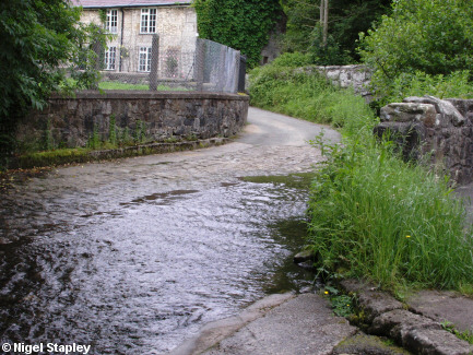
The old drovers' road from Cymau used to ford the River Cegidog on the eastern side of the village.
In the upper right of this photograph, you can see the narrow stone bridge which was used when the river was in spate.

Grid reference: SJ286553
Co-ordinates: 328645, 355307
Bearing: N
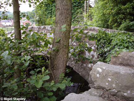
And here's that bridge at close quarters. The main road from Cymau now runs a hundred metres or so to the north.

Grid reference: SJ283552
Co-ordinates: 328375, 355280
Bearing: WSW
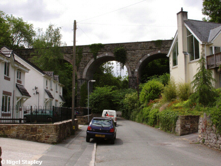
If you turn west off the main road through Ffrith and past the Blue Bell Inn, you'll be confronted with this.
This viaduct carried the railway line which ran from Brymbo to Mold.
Opened to passenger traffic in May 1898, the line ran along the western side of the Ffrith ravine. At its peak, the service operated by the London and North Western Railway (later absorbed into the London Midland Scottish) ran five or six trains a day, but the closure of passenger services between Brymbo and Wrexham by the Great Western Railway in 1931 and the effect of increased bus services meant that passenger traffic on the Brymbo - Mold stretch came to an end in March 1950, goods services following them into oblivion a couple of years later.
Ffrith railway station (which consisted solely of a wooden platform and a hut) stood some yards to the right of this picture and little of it remains. The station-master's house still stands, however.
More information about Ffrith station (and the other stops on this line) can be found at the excellent Disused Stations site.

Grid reference: SJ283552
Co-ordinates: 328325, 355250
Bearing: ENE
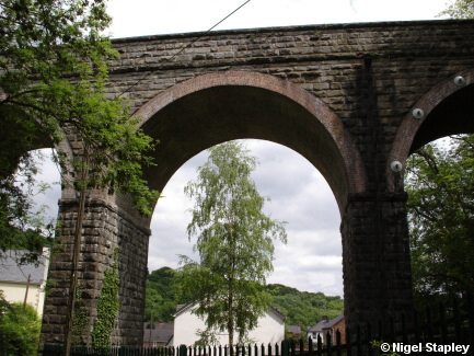
Here's the viaduct from the western side. The stream of Nant Y Ffrith flows under the right-hand arch.

Grid reference: SJ283552
Co-ordinates: 328340, 355255
Bearing: WSW
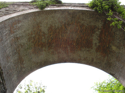
And here's a look at the underside of the main arch.
© Nigel Stapley


