The Groves, Chester


Grid reference: SJ407659
Co-ordinates: 340790, 365967
Bearing: ESE
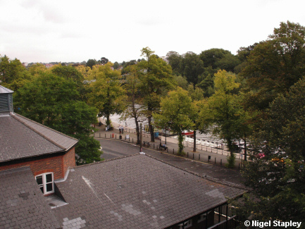
The Groves, an attractive promenade area along the north bank of the River Dee. This eastern section (seen here from the City Wall) was laid out in the early 18th century (the western end dates from over 150 years later), and includes a nice little bandstand and the jetties for the river's numerous pleasure boats.
The Queen's Park Suspension Bridge can be glimpsed through the trees in the centre of this shot.


Grid reference: SJ408659
Co-ordinates: 340832, 365962
Bearing: SW
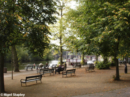
Here we see The Groves from road level. The Old Dee Bridge crosses the river in the distance:
© Nigel Stapley


