 This Is Not A
BLOG!
Date: 12/06/07
Walk On...
I went for one of my Walks yesterday.
Following on from my epic Hope Mountain trek last year, I decided to go off in the opposite direction.
One reason was a sort-of promise I'd made to Mike Brown of the Transmission Gallery site that I'd get some photographs of a local AM transmitter which had yet to feature on the site.
Further thought on the matter suggested that I could combine this with something a bit less technological, namely a long walk in the woods.
Unusually, I started this journey by bus. As my targets were at the very far end of the route, I thought that I would start the trek at that end and work my way back.
So, I caught the bus to by the office, ironically enough given that I'm on a fortnight's leave. From there, I...oh, hold on, you'll need a map. Here:
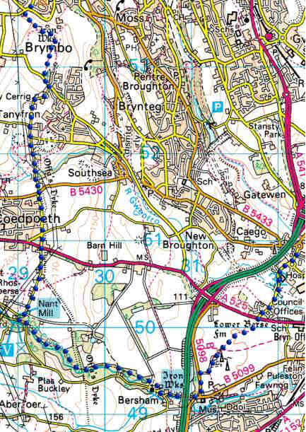
I got off the bus by the office (right-hand side of the map - follow the blue dots), and walked up Croesnewydd Road as far as Ruthin Road. I crossed there and found the footpath which led across the fields towards the transmitter masts, which could be seen in the distance.
The path went in two opposing directions at this point. I felt sure that the right-hand path was the right one (in the other sense), so that way I went. Unfortunately, that one then divided into a left turn or a straight ahead. Because the left one seemed overgrown and unused, I went straight ahead...
...Only to have to turn around after about 60 metres, when I realised that I'd taken the wrong path.
The other one wasn't so much overgrown as underused, because hardly anyone seems to walk anywhere these days - it's getting as bad as Los Angeles - and it was easy enough to walk along. This brought me out behind Bryn Moel, and just past the house I could get a clear view of the masts.
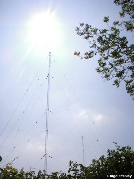
I took as many photographs as I felt were worth taking, and set off on the next stage of the jaunt, down to the picturesque village of Bersham.
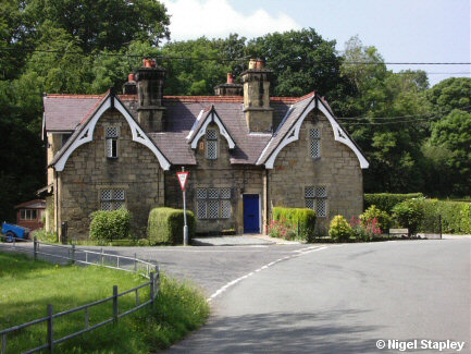
It's strange to consider that this area wasn't very picturesque at all at one time, being one of the cradles of the Industrial Revolution, with iron works, mines and mills scattered all over the landscape.
Of course, advanced societies such as ours don't need industry any more, darlings, and so (as is all too common nowadays), the whole area has been turned into an 'amenity'.
The 'amenity' in question here being The Clywedog Trail.
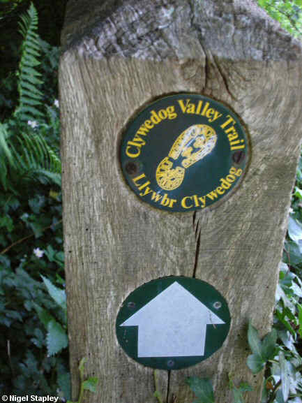
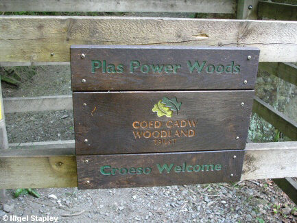
The Trail shadows the road for part of the way, but mostly follows close by the River Clywedog. The whole of this section of The Trail goes through Plas Power Woods. The paths are clear, but I never got that feeling of regimentation that I've had in other, similar environments. Of course, this could have been because there aren't many people using the Trail. I saw two lads on bikes (naughty!), a man walking his dog, a young couple and their infant, a jogger, and the same man walking his dog back the other way.
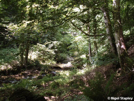
Finally, after a beautiful, almost enchanting, walk through the woods, I emerged at Nant Mill. A big thank-you to The Woodland Trust for their hard work.
After a brief stop at Nant Mill, I headed back towards the Ruthin Road. It was at this point that I realised that mid-summer was probably not the best time of year for doing something like this. For the first time in about three miles, I had no shade. It was about 1.30pm by this time, so the day was at its hottest.
I sweated down Rhos Berse Lane and across to Heol Offa in Coedpoeth. At the bottom end of this, I got chatting to an elderly lady waiting for a bus. She had family connections with Plas Power (several members of her family had worked there) and I spent an interesting ten minutes or so with her.
It was more than time to move off, however.
My next photograph gives me an excuse for a cheap laugh:
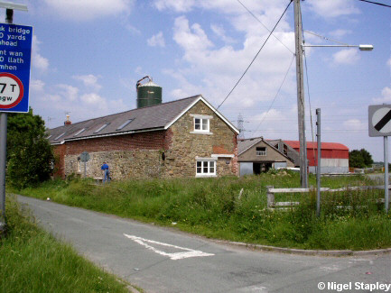
This farm is called Llidiart Fanny.
Yes, it is. Why should I make such a thing...look, will you stop giggling like that? Honestly, you're so immature! It means Fanny's Gate...Oh look, I'm...what? Well, OK, I suppose it is funny...at least the first time. And, what's more, it's funny on both sides of the Atlantic, with only a minor shift in anatomical geography separating the common cultures.
I headed off down the lane you can see here, which led down to the valley of the River Gwenfro (this is the same River Gwenfro which becomes nothing much more than an open sewer once it reaches Wrexham).
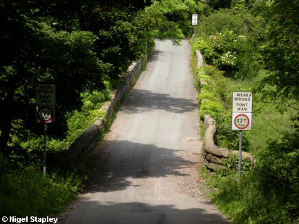
By the time I got here, it wasn't just the bridge that was weak, I can assure you. All the more so when I knew that the stretch of road on the other side was the steepest part of the whole walk.
I struggled mightily (well, mightily is not quite the word, I admit) to get to the top of the slope, by which time I had sweated through everything I was wearing. Finally, I got to just above where they're building a lot of new houses on the former Steelworks site, and trudged the last half mile home.
I never try to measure out how long one of these walks is going to be in advance, as I'd probably be put off by the prospect. Today, however, by the time-honoured and highly scientific method of laying the edge of a piece of paper along the route and marking the paper wherever the road bends, I figured that it was about six miles. Tiring, but very worthwhile.
Some of the other photographs I took will turn up in The Gallery soon.
PS. They're there now.


 This Is Not A
BLOG!


