Brynyffynnon


Grid reference: SJ291539
Co-ordinates: 329185, 353962
Bearing: ESE
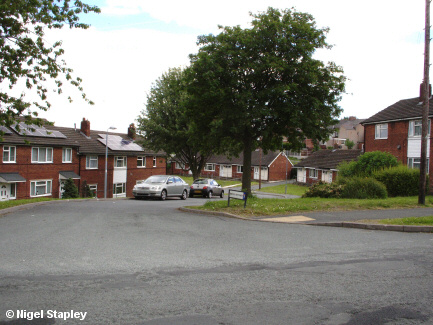
Brynyffynnon - named after the former farm on whose land it was built - was one of the last parts of Penygraig estate to be built, going up in the late 1960s to replace the group of pre-fabricated houses which were put up here to meet a housing shortage a couple of decades before.
(Some of those houses can be seen in outline in the lower left of this picture).
It comprises a mixture of terraced houses, bungalows and flats. Above is the road entrance from Offa Street.


Grid reference: SJ292540
Co-ordinates: 329227, 354024
Bearing: S
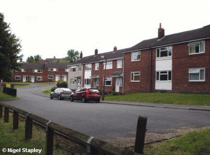
Brynyffynnon from near the gate of Brynyffynnon House.


Grid reference: SJ292540
Co-ordinates: 329248, 354021
Bearing: SSE
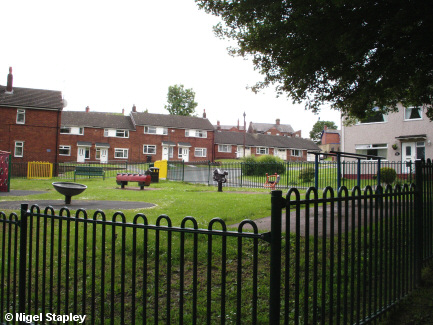
The play area at the bottom of Brynyffynon, referred to by all as 'The Park' from the moment it was established some 50 years ago.
©Nigel Stapley


