Davies Avenue


Grid reference: SJ290538
Co-ordinates: 329012, 353880
Bearing: S
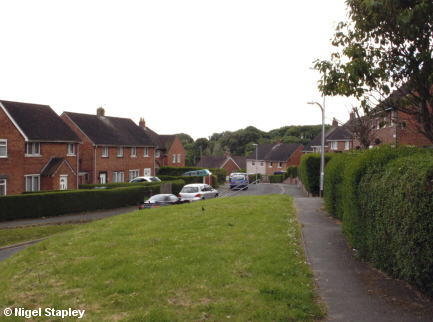
Davies Avenue was one of the last parts of the Penygraig estate to go up.
Who it was named after, I can't tell you; any more than I know exactly which Edwards the neighnbouring avenue was named after.
This is the view from the top, where it joins the upper part of Dyke Street and the southern end of Cheshire View.


Grid reference: SJ290537
Co-ordinates: 329019, 353797
Bearing: ESE
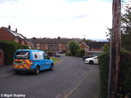
It's got a fair old slope on it, too. Here's the view down the hill towards Edwards Avenue, with Morse House in the centre of the picture.


Grid reference: SJ291537
Co-ordinates: 329111, 353759
Bearing: WNW
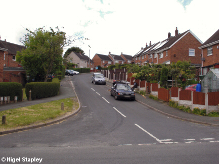
And this is the view back up the hill from Edwards Avenue.
©Nigel Stapley


