Cheshire View & Mountain View


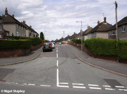

Grid reference: SJ290538
Co-ordinates: 329073, 353871
Bearing: N
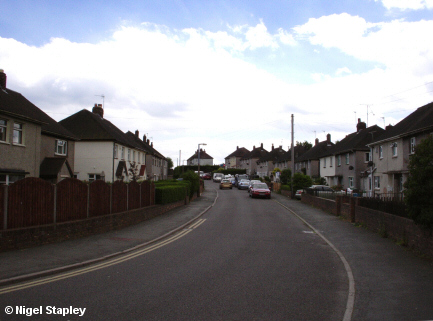
Cheshire View is the longest street on the Penygraig estate, consisting of more than 120 houses spread over two levels. Above we see the entrance to 'bottom' Cheshire View from its junction with Dyke Street.
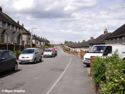

Grid reference: SJ290539
Co-ordinates: 329078, 353943
Bearing: NNW
Halfway along bottom Cheshire View, looking northwards towards Mountain View playing fields.
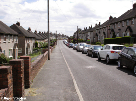

Grid reference: SJ290541
Co-ordinates: 329015, 354125
Bearing: SSE
Looking back south from near the junction with Mountain View.
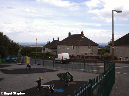

Grid reference: SJ289541
Co-ordinates: 328965, 354170
Bearing: E
Mountain View consist of one row of six houses at the northern end of Cheshire View. The road past the houses turns into a narrow lane which emerges at the bottom end of Dyke Street (first photograph).

Grid reference: SJ289541
Co-ordinates: 328950, 354155
Bearing: S
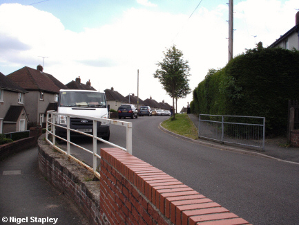
Cheshire View was built in stages over a period of a few years. When they came to start 'top' Cheshire View, they hit a small snag in the form of a Bronze Age burial dating from around 1600BC. The Beaker Man, as he was dubbed from one of the grave goods, doesn't look that much different from some of the people living there today.

Grid reference: SJ289540
Co-ordinates: 328990, 354035
Bearing: S
As Cheshire View skirts Offa's Dyke, it kinks away from the earthwork, the eastern pavement goes into a sunken pathway and the western one onto an embankment. The path up to the Dyke can be seen on the right, where the barriers are.

Grid reference: SJ290539
Co-ordinates: 329005, 353940
Bearing: S
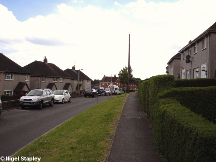
The highest-numbered houses on Cheshire View, looking towards the top of Dyke Street and Davies Avenue (the red-bricked houses in the centre).

Grid reference: SJ290538
Co-ordinates: 329010, 353887
Bearing: N
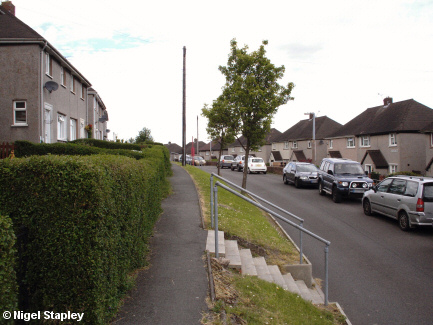
Looking back along top Cheshire View from the last houses on the western side.
©Nigel Stapley


