Looking North East


Grid reference: SJ293539
Co-ordinates: 329337, 353900
Bearing: NE
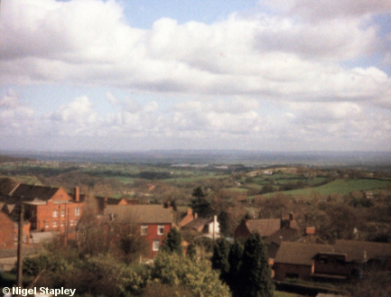
Another long-distance job! Taken from the top of the Red Path in about 1981, looking North East towards Chester and Runcorn (on a clear day - and possibly in a clear photograph - the bridge over the River Mersey at Runcorn can be seen).
The red-brick building in the left middle-ground is the village school. It was a Secondary Modern school until 1971, and then gradually became the home of the village primary school, which had previously been housed in a large sandstone building about 50 metres to the right of it and not visible in this picture.


Grid reference: SJ293539
Co-ordinates: 329337, 353900
Bearing: NE
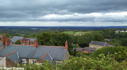
Here's a more recent photograph (July 2020) from almost the same viewpoint, taken with a better camera.
© Nigel Stapley


