Penygraig Road



Grid reference: SJ291537
Co-ordinates: 329174, 353715
Bearing: N
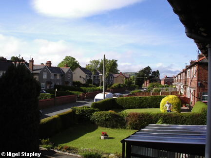
Penygraig Road predates the estate by some considerable time, as there were houses and other buildings further along this road long before. But the first council houses went up here in the mid-1920s.
I had long thought that the reason for the slightly bizarre numbering system on this road - whereby numbers 1 to 26 (the red-brick-built ones) run in direct sequence on one side, with the houses opposite starting at 27 at the far end and running through to 38 (so that, for example, No.36 is opposite No.1) - was due to the houses on the other side having gone up some time after the ones on this. However, photographic evidence which I have since seen suggests that both sides were built up more or less simultaneously. So that's one theory done for.
There are also a couple of groups of private houses further along which have their own numbering. Graig Villas (around the corner at the far end of the right of the picture above) are numbered 1 to 3, and Offa Villas (at the very far end of the road at the bottom of Penygraig Hill) are numbered 1 to 4. This means that we often get each other's post.
A few more views of what was known locally for years as 'Bottom Road' (stop sniggering at the back!):

Grid reference: SJ291537
Co-ordinates: 329174, 353715
Bearing: NNE
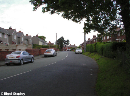
The same view as the first picture, but from road level.

Grid reference: SJ293538
Co-ordinates: 329337, 353897
Bearing: WSW
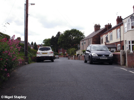
The view from the opposite end of the road (before it drops down the hill), showing the private houses on the right-hand side, mostly dating from the early 20th century.

Grid reference: SJ292538
Co-ordinates: 329219, 353867
Bearing: SSW
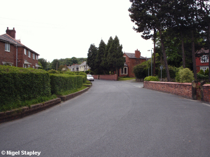
The junction with Offa Street, looking south.
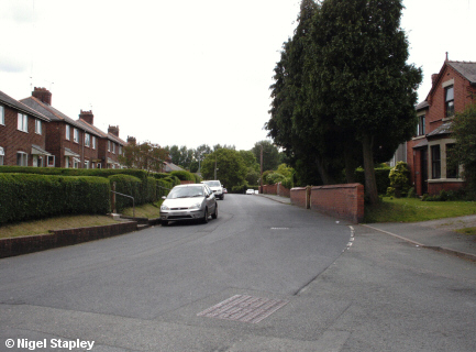

Grid reference: SJ293538
Co-ordinates: 329201, 353852
Bearing: SSW
Looking southerly from the junction with Offa Street.
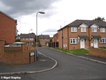

Grid reference: SJ293540
Co-ordinates: 329348, 354019
Bearing: WNW
The Poppy Fields estate stands at the bottom of Penygraig Hill, and was built in the early years of this century on the site of what had previously been the village branch of the Royal British Legion, which in turn had been built on a field belonging to Brynyffynnon Farm.
©Nigel Stapley


