Argoed



Grid reference: SJ291535
Co-ordinates: 329131, 353510
Bearing: NW
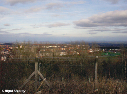
Argoed was part of the first tranche of council housing built on the Penygraig estate from the mid-1920s onwards. The houses are of various sizes, from two- to four-bedroom, and are arranged in a horseshoe shape on the edge of the plateau. This means - amongst other things - that the numbering system can appear a bit wacky because of there being fewer houses on the inside of the curve. For instance, on the far side, numbers 1, 3, 5 and 7 are opposite numbers 2, 4, 6 and 8, but by the time we reach this side the last few houses run in sequence from the low 40s up to 50.
The above view was taken from the eastern end of the Wonder Bank. The bit on the far right is a play area at the top end of Blast Field, and the Cheshire Plain lies beyond.

Grid reference: SJ293537
Co-ordinates: 329338, 353737
Bearing: SW
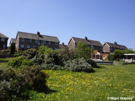
This is Argoed seen from the other side, just at the top of The Rocks.
When I were a lad, this piece of ground was covered in garages for the tenants (the entrance to the whole area can be seen coming down between the houses in the right centre of this picture). There were about twenty or so garages, one row running down the right-hand side of this shot, with a row running parallel with the backs of the houses on the left, and another running parallel to that a bit further down.
What this place also was was a testing ground-cum-race track for our (mostly) home-made go-karts. Novices, cissies and the prudently cautious would start their runs level with the bottom of Mary Saul's back garden at No.7 (centre of the photo), but the real wild spirits would start at the very top of the entrance from Argoed. Because of their lowness to the ground, the impression of speed one got as you hurtled (and that, believe me, is the mot juste) around the bottom corner towards Jac Y Pant's pigeon kit was quite an experience.
Some photographs from the road itself now:

Grid reference: SJ292537
Co-ordinates: 329243, 353726
Bearing: ESE
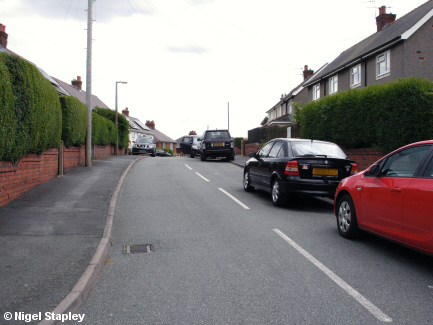
Now here is a special place, at least to me.
You see the first gateway on the left there, before the phone pole? That leads to the house I was born and brought up in, although due to the alignment of the houses, we were on Ffordd Owain rather than Argoed. So this particular stretch of tarmac was my childhood playground, where I would play hopscotch (as described here), and run my three-wheeler bike and go-kart up and down. The pole is a fairly recent addition, however; hardly anyone had a telephone in those days.

Grid reference: SJ293536
Co-ordinates: 329325, 353688
Bearing: WNW
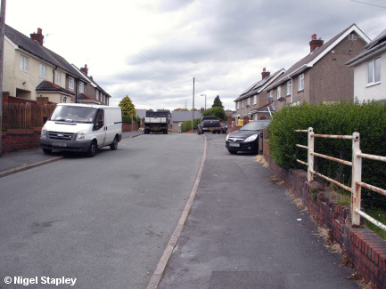
The view back towards Ffordd Owain, with the entrance to The Rocks where that black car is parked on the right.
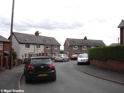

Grid reference: SJ293536
Co-ordinates: 329325, 353688
Bearing: SE
Turning around from the last photo, we see the beginning of the U-bend at the eastern end of Argoed.
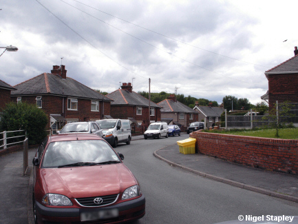

Grid reference: SJ293536
Co-ordinates: 329332, 353648
Bearing: WSW
Going a little bit further round the bend (as it were), we begin to get an idea of the parking problems which now plague this road. When these houses were put up in the 1930s, virtually no-one had a car. Now nearly everyone has one (and many households have more than one), so where to put them is a major problem, especially since the removal of all the garages on The Rocks nearby.
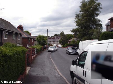

Grid reference: SJ292536
Co-ordinates: 329244, 353650
Bearing: WNW
Heading back towards Penygraig Road now, with the other junction with Ffordd Owain on the right.
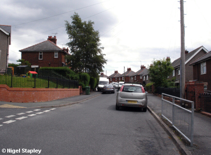

Grid reference: SJ292536
Co-ordinates: 329204, 353677
Bearing: ESE
Looking back towards the U-bend from the junction with Ffordd Owain.
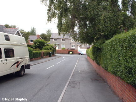

Grid reference: SJ291536
Co-ordinates: 329196, 353692
Bearing: WNW
Approaching the junction with Penygraig Road now. That's my garden on the right, by the way.
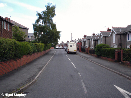

Grid reference: SJ291537
Co-ordinates: 329151, 353704
Bearing: ESE
And finally, looking back up Argoed from the junction with Penygraig Road.
©Nigel Stapley


